Cavok Airpark
06TE · Cleveland, Texas
Airport and flying
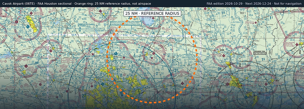
Cavok Airpark (06TE) is a private, non-towered airport in Cleveland, Liberty County, Texas. Field elevation is 132 ft. Runway 09/27 is 3,275 by 50 ft, asphalt. No fuel is listed on the field.
Nearest fuel: Cleveland Municipal (6R3, Cleveland), 2.8 nm N, 5,001 ft runway, 100LL, Jet A+; Conroe/North Houston Regional (CXO, Houston), 20.2 nm W, 7,501 ft runway, 100LL, Jet A; Liberty Municipal (T78, Liberty), 22.1 nm SE, 3,801 ft runway, 100LL, Jet A.
Major airports: George Bush Intcntl/Houston (IAH, Houston), 25.6 nm SW, 12,001 ft runway, 100LL, Jet A; William P Hobby (HOU, Houston), 42.1 nm S, 7,602 ft runway, 100LL, Jet A, Jet A-1.
Regional airports: Ellington (EFD, Houston), 42.9 nm S, 9,001 ft runway, 100LL, Jet A; Jack Brooks Regional (BPT, Beaumont/Port Arthur), 56.6 nm E, 6,751 ft runway, 100LL, Jet A; Easterwood Field (CLL, College Station), 71.1 nm W, 7,000 ft runway, 100LL, Jet A, Jet A+.
Nearby airports: Cleveland Municipal (6R3, Cleveland), 2.8 nm N, 5,001 ft runway, 100LL, Jet A+; Lake Water Wheel (XS99, Shepherd), 11.2 nm NE, 2,600 ft runway; Bass Breeze Ranch (0TS5, Cleveland), 11.3 nm NW, 3,200 ft runway; Duke International (42TT, Cleveland), 13.6 nm NW, 2,533 ft runway.
Official FAA airport record (06TE) · FAA data effective 2026-10-29