Hendersonville
0A7 · Hendersonville, North Carolina
Airport and flying
Hendersonville (0A7) is a public, non-towered airport in Hendersonville, Henderson County, North Carolina. Field elevation is 2,084 ft. Runway 15/33 is 3,075 by 40 ft, asphalt (fair condition). No fuel is listed on the field.
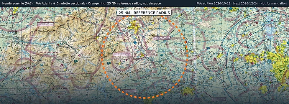
Nearest fuel: Asheville Regional (AVL, Asheville), 9.4 nm NW, 8,002 ft runway, 100LL, Jet A; Rutherford County/Marchman Field (FQD, Rutherfordton), 25.4 nm E, 5,000 ft runway, 100LL, Jet A-1+; Greenville Spartanburg International (GSP, Greer), 26.9 nm SE, 11,001 ft runway, 100LL, Jet A.
Major airports: Greenville Spartanburg International (GSP, Greer), 26.9 nm SE, 11,001 ft runway, 100LL, Jet A; Charlotte/Douglas International (CLT, Charlotte), 72.9 nm E, 10,000 ft runway, 100LL, Jet A, Jet A++.
Regional airports: Asheville Regional (AVL, Asheville), 9.4 nm NW, 8,002 ft runway, 100LL, Jet A; Donaldson Field (GYH, Greenville), 33.1 nm S, 8,000 ft runway, 100LL, Jet A; Hickory Regional (HKY, Hickory), 57.3 nm NE, 6,401 ft runway, 100LL, Jet A-1+.
Nearby airports: W N C Air Museum (8NC9, Hendersonville), 0 nm SW, 2,400 ft runway; Bell Mountain (08NR, Zirconia), 5.4 nm S, 1,400 ft runway; Asheville Regional (AVL, Asheville), 9.4 nm NW, 8,002 ft runway, 100LL, Jet A; Six Oaks (NC67, Asheville), 9.7 nm N, 2,600 ft runway.
Official FAA airport record (0A7) · FAA data effective 2026-10-29