Timber House
31IN · Lafayette, Indiana
Airport and flying
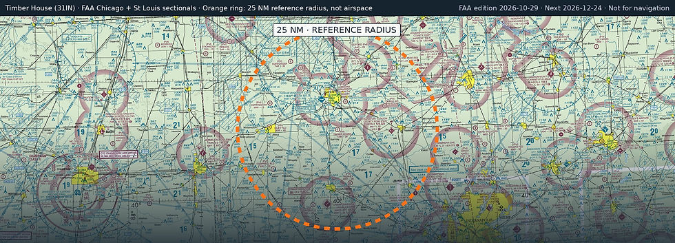
Timber House (31IN) is a private, non-towered airport in Lafayette, Tippecanoe County, Indiana. Field elevation is 726 ft. Runway 09/27 is 3,000 by 100 ft, turf. No fuel is listed on the field.
Nearest fuel: Purdue University (LAF, Lafayette), 8.5 nm NW, 6,600 ft runway, 100LL, Jet A; Frankfort Clinton County Regional (FKR, Frankfort), 13.5 nm E, 5,000 ft runway, 100LL, Jet A; Delphi Municipal (1I9, Delphi), 17.3 nm NE, 4,001 ft runway, 100LL.
Major airports: Indianapolis International (IND, Indianapolis), 42.8 nm SE, 11,200 ft runway, 100LL, Jet A, Jet A-1+; Chicago Midway International (MDW, Chicago), 98.8 nm NW, 6,522 ft runway, 100LL, Jet A-1+.
Regional airports: Purdue University (LAF, Lafayette), 8.5 nm NW, 6,600 ft runway, 100LL, Jet A; Terre Haute Regional (HUF, Terre Haute), 54.2 nm SW, 9,021 ft runway, 100LL, Jet A; University Of Illinois/Willard (CMI, Champaign/Urbana), 66.8 nm W, 8,101 ft runway, 100LL, Jet A-1+.
Nearby airports: Felix (37IN, Stockwell), 3.5 nm E, 1,900 ft runway; Wyandotte (6IN3, Lafayette), 5.7 nm NE, 2,600 ft runway; Purdue University (LAF, Lafayette), 8.5 nm NW, 6,600 ft runway, 100LL, Jet A; Drago Air (30IN, Mulberry), 13.2 nm NE, 2,400 ft runway.
Official FAA airport record (31IN) · FAA data effective 2026-10-29