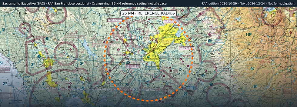
Sacramento Exec
SAC · Sacramento, California
Airport and flying
Sacramento Exec (SAC) is a public, towered airport in Sacramento, Sacramento County, California. Field elevation is 23 ft. Runway 02/20 is 5,503 by 150 ft, asphalt (good condition). Runway 12/30 is 3,837 by 100 ft, asphalt (good condition). Runway H1 is 60 by 60 ft, asphalt (good condition). Fuel on the field: 100LL, Jet A.
Nearest fuel: Sacramento Mather (MHR, Sacramento), 9.6 nm E, 11,301 ft runway, 100LL, Jet A; Rio Linda (L36), 10 nm N, 2,625 ft runway, 100LL; Mc Clellan Airfield (MCC, Sacramento), 10.3 nm NE, 10,599 ft runway, 100LL, Jet A, Jet A+.
Major airports: Sacramento International (SMF, Sacramento), 11.9 nm NW, 8,605 ft runway, 100LL, Jet A; Oakland San Francisco Bay (OAK, Oakland), 58.7 nm SW, 10,520 ft runway, 100LL, Jet A.
Regional airports: Stockton Metro (SCK, Stockton), 39 nm S, 10,245 ft runway, 100, 100LL, Jet A; Buchanan Field (CCR, Concord), 41.1 nm SW, 5,001 ft runway, 100LL, Jet A-1+, UL94; Charles M Schulz/Sonoma County (STS, Santa Rosa), 62 nm W, 6,000 ft runway, 100LL, Jet A-1.
Nearby airports: Borges - Clarksburg (CN13, Clarksburg), 4.2 nm S, 2,260 ft runway; Chp Academy (60CL, Bryte), 6 nm NW, 1,400 ft runway; Sacramento Mather (MHR, Sacramento), 9.6 nm E, 11,301 ft runway, 100LL, Jet A; Rio Linda (L36), 10 nm N, 2,625 ft runway, 100LL.
Official FAA airport record (SAC) · FAA data effective 2026-10-29